We are located!
Bonita Springs is located at 26°20′59″N 81°47′27″W / 26.34972°N 81.79083°W (26.349654, -81.790937).
According to the United States Census Bureau, the city has a total area of 41.0 miles (106.2 km). 35.3 miles (91.4 km) of it is land and 5.7 miles (14.8 km) of it (13.95%) is water.
The city is located on both Estero Bay and the Gulf of Mexico. The area referred to as Bonita Beach is located on Little Hickory Island, a road-accessible barrier island that lies between the Gulf of Mexico and Estero Bay. The Imperial River flows through the downtown district of the city and empties into Estero Bay.
The city is the northernmost city on the west coast of Florida that has a tropical climate, having a mean January temperature of 65°F (18°C). Fort Myers Beach directly to the north has a January mean of 64°F (18°C) which gives it a subtropical climate.
AREA LINKS
AREA & ATTRACTIONS
-
1
Art League of Bonita Springs
An arts organization that hosts both local and traveling art exhibitions, arts classes and other community events.
-
2
Bonita Beach Park
A 2.5-acre beachfront park that features a boardwalk and swimming area. Sand dunes and coastal vegetation surround a gazebo and 8 picnic shelters.
-
3
Barefoot Beach Preserve Park
Is 342 acres (1.38 km) of natural land and one of the last undeveloped barrier islands on Florida's southwest coast.
-
4
Everglades Wonder Gardens
Features a large collection of Florida wildlife including exotic birds, panthers, alligators, flamingos and bears.
ACTIVITIES
- Water activities are everywhere and are not just limited to the Gulf. Canoes and kayaks are seen along freshwater creeks, which allow an intimate glimpse of nature.
- Lagoons are tucked between the mainland and mangrove islands in the Gulf which create hideaways for fishing.
- The many charming neighborhoods have finger canals threading through them for those who prefer gazing at natural wonders.
- A really wonderful aspect of Bonita is the beach access points with free parking at regular intervals along Little Hickory Island (Bonita Beach) to Big Hickory Pass at its south end.
- Bonita Beach is a public park with facilities at the bend on Bonita Beach Road.
AMMENITIES
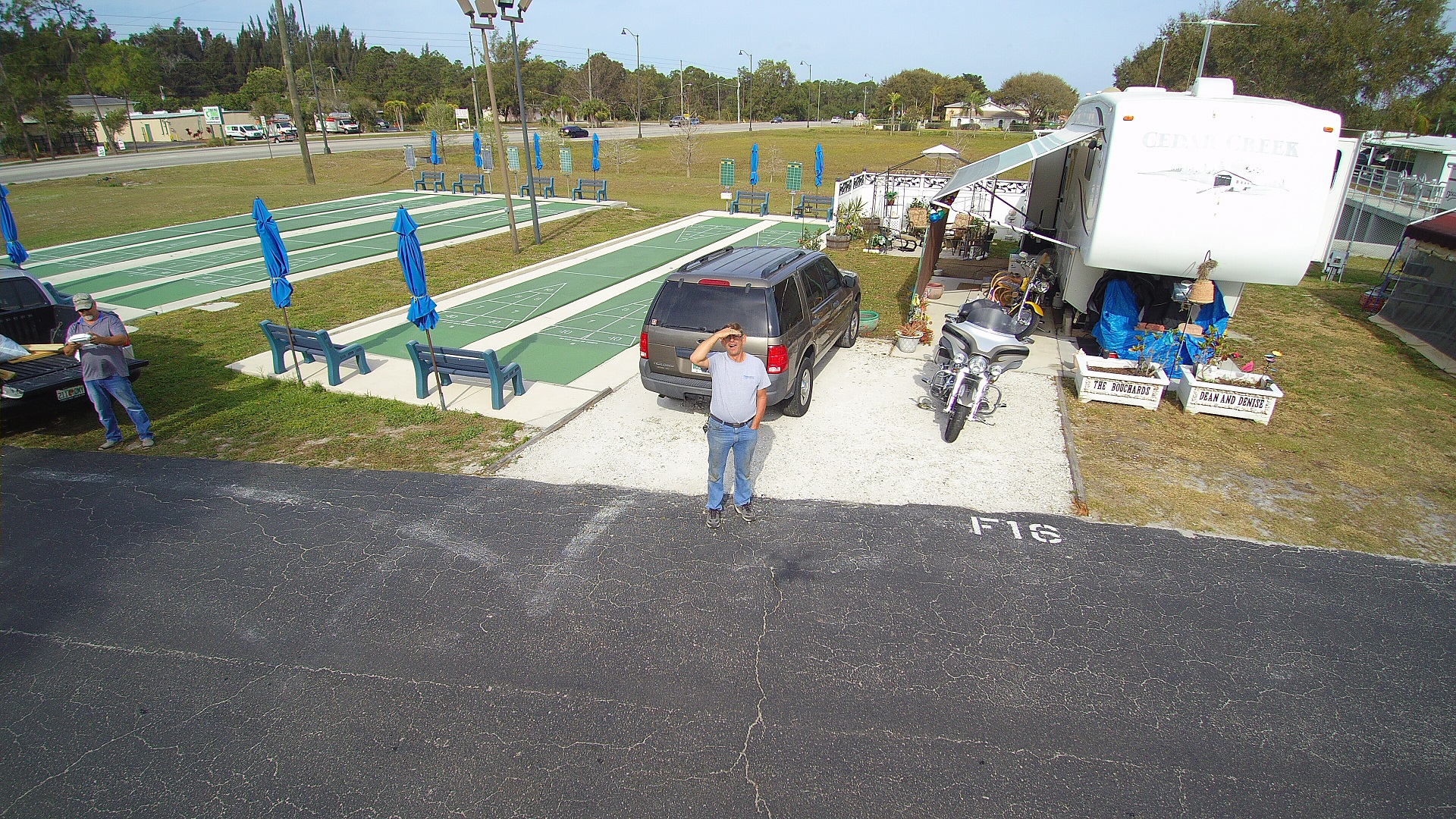
167 sites approximately 42 feet long by 30 feet wide.

Park with wide turning lanes entering and departing.

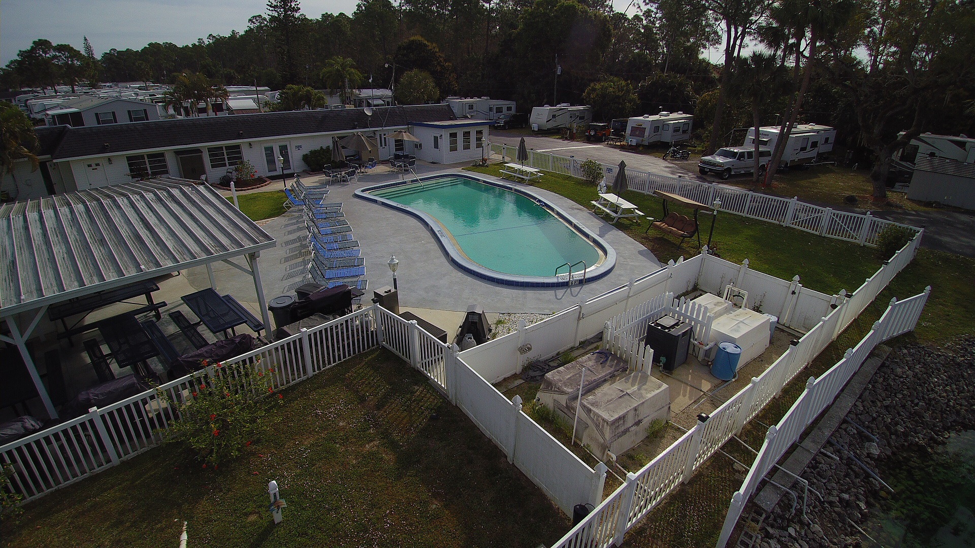
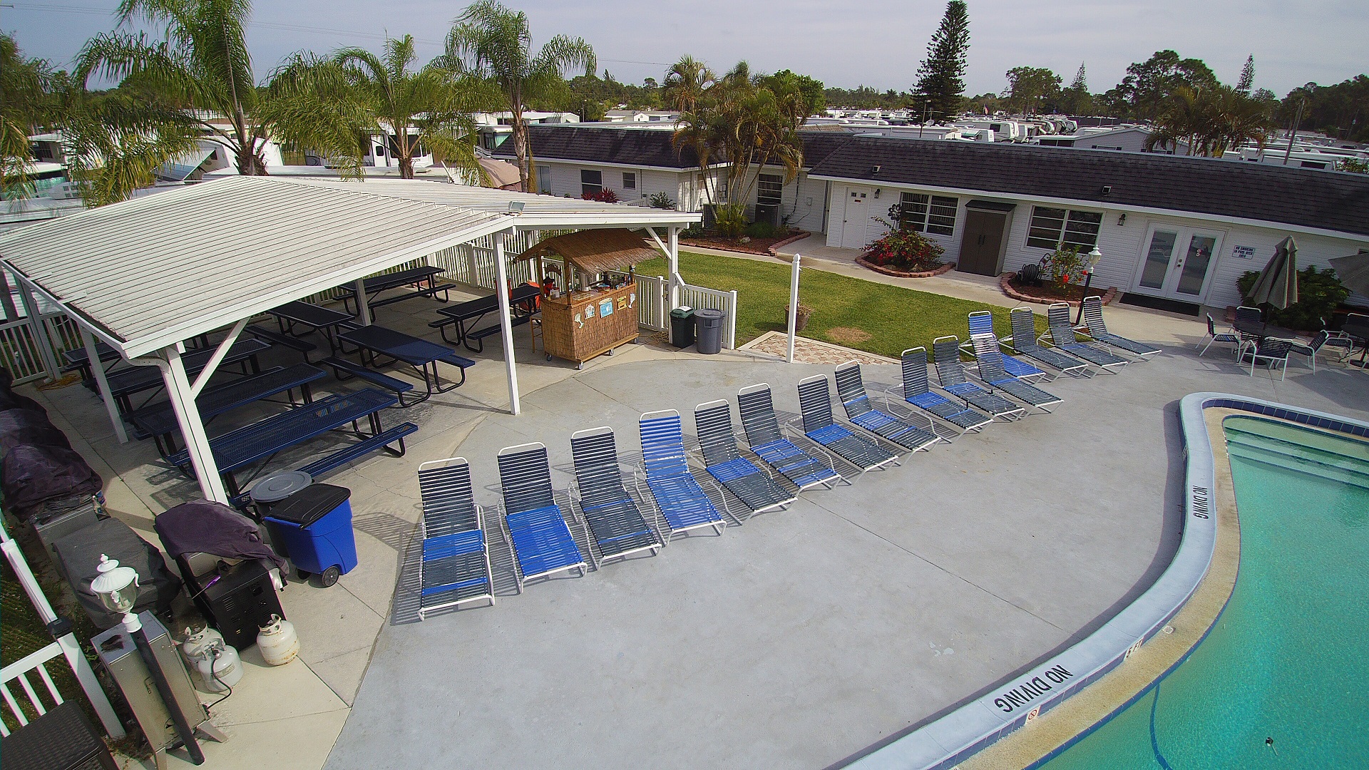
Pool & Shuffleboard Courts.


